Streamline your subsea project with intelligent heatmap cable data
GeoCable® GIS Data
GIS Cable Fault Rate Heatmaps
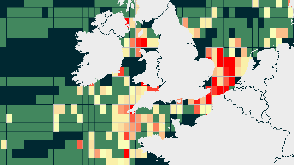
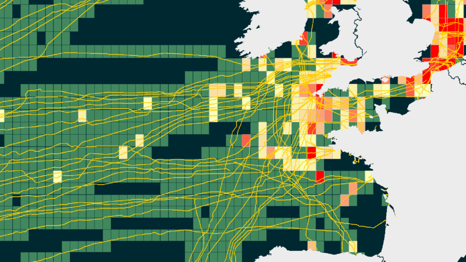
Understanding the submarine cable landscape has never been as important as it is now. At OceanIQ®, we can now provide you with detailed fault rate heatmaps that outline the number of faults that can be expected on each kilometre of a cable, within a specific area, per year.
Get a Quote!Data & Intelligence at Your Fingertips
Utilising our cable database, analyse 6,000 historical global cable faults to easily identify areas of high fault rates, overall minimising system downtime
Plan new cables in the lowest fault rate areas
Make informed decisions to maintenance requirements based on historical trends
View fault density by cause such as fishing, anchoring or seismic activity
Plan efficiently with GIS data layers that provide an estimate number of faults per km of cable per year
Detailed Data Within Each Grid Area


Safeguard Your Cable System

View Cable Location to Prevent Risks

Cable Fault Prediction Service
We use our historic data and understanding of subsea cables to help predict where faults are most likely to occur. This means you can target your maintenance to maximise your uptime.


