Contact Us
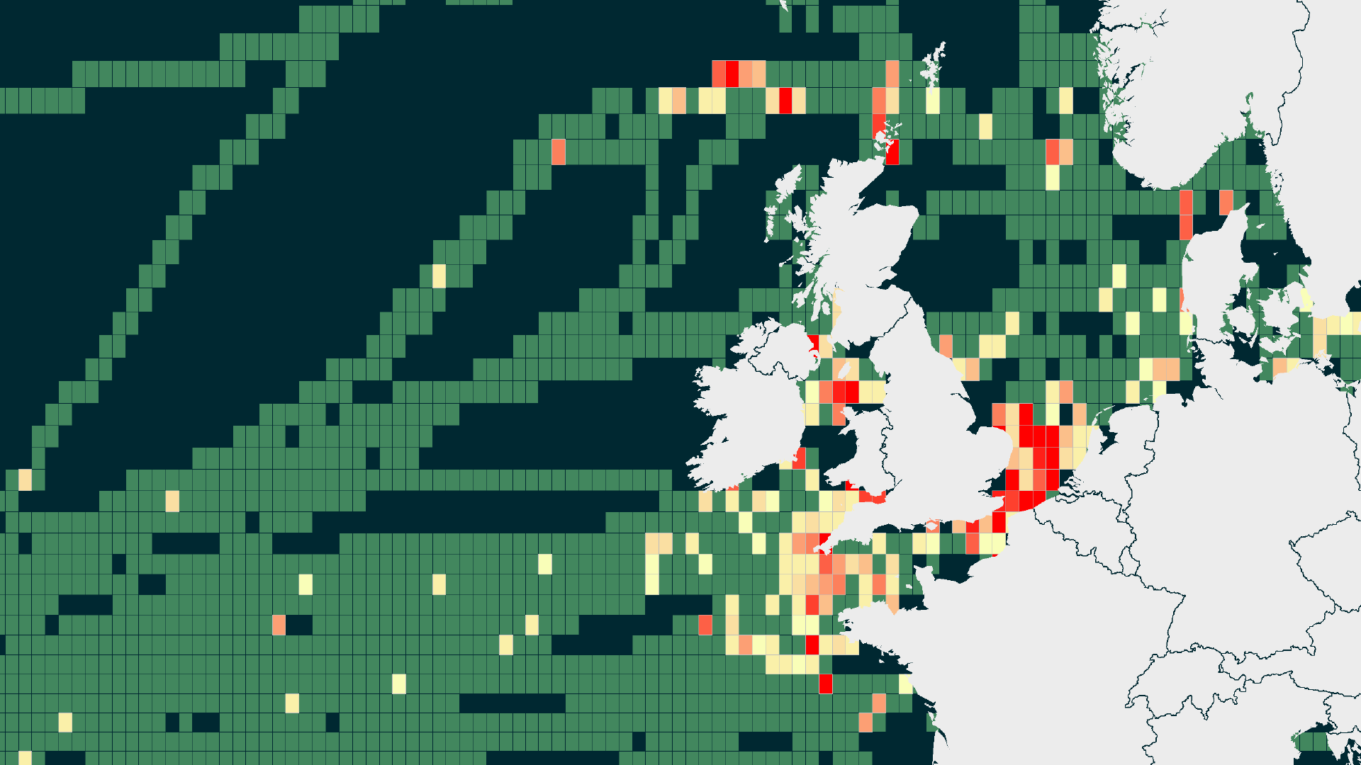
Sharing seabed data with the relevant authorities and other seabed users in the form of cable awareness charts or flyers can help minimise that figure, ensuring other marine users are aware of the location of these important assets to avoid damaging them.
OceanIQ® can produce professional, branded cable awareness charts for issue by the client to authorities and vessel masters for this purpose. These charts can support a fishing liaison strategy to counter the most widespread cause of damage to cables.
For a wider reach, we can also set up and manage a dedicated website to host the charts in a convenient location. Please click here to view one of our cable awareness sites.
Customised GIS, custom cable charts, and installation chart updating are available to support the following:
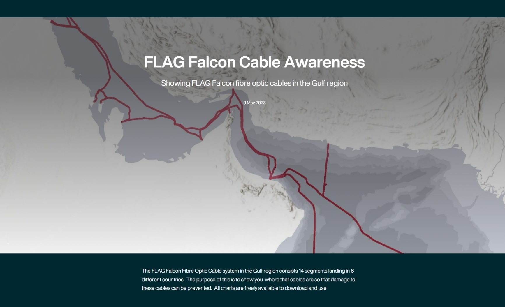
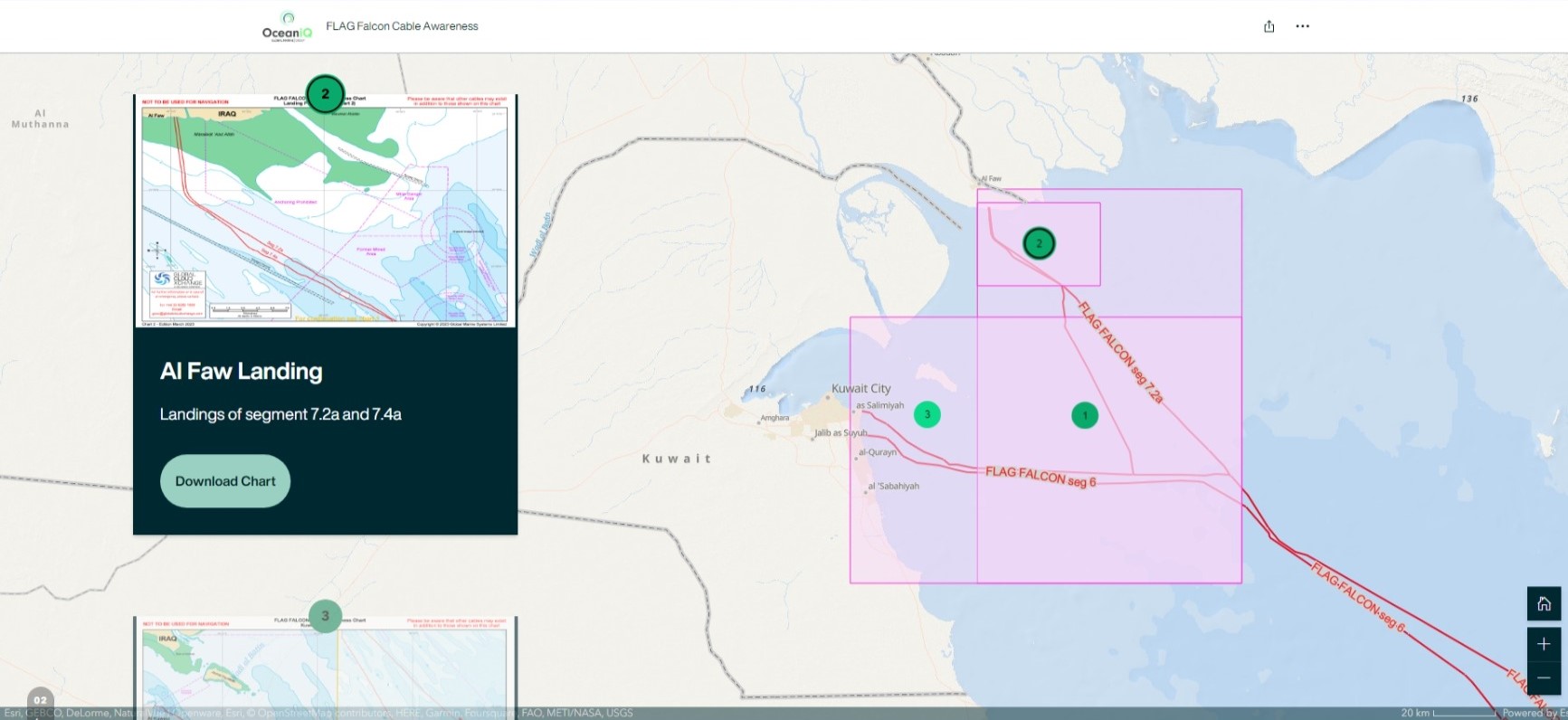
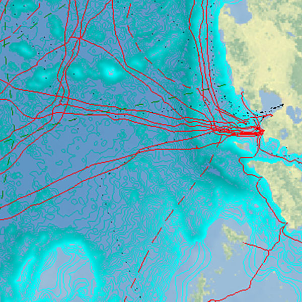
Our web-based Cable Awareness Charts detail all the cable segments, landing points and countries that form part of a cable system.
Our interactive GIS provides accurate cable routes to other seabed users. By sharing cable locations, third party damage can be prevented and minimised for the long-term security and integrity of the connectivity they deliver across the globe, for cable owners and end-users.
Our branded cable awareness websites display all the relevant data along the full length of a cable system. All charts provide the cable owner’s contact details and are freely available to download and use.
Take a look at our other Cable Route Planning Services
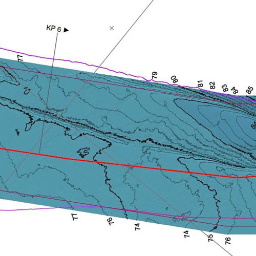
High quality survey data is the cornerstone of all engineering projects. OceanIQ’s experienced survey team manages marine surveys on behalf…
With involvement in the installation and maintenance of subsea cable since the formation of the industry back in 1850, OceanIQ…
We evaluate, advise on, navigate and complete the complex and varying multi-national permit requirements for projects worldwide ensuring that your…
OceanIQ’s® route engineering department draws upon decades of installation and maintenance experience with the latest cable routing software to provide…